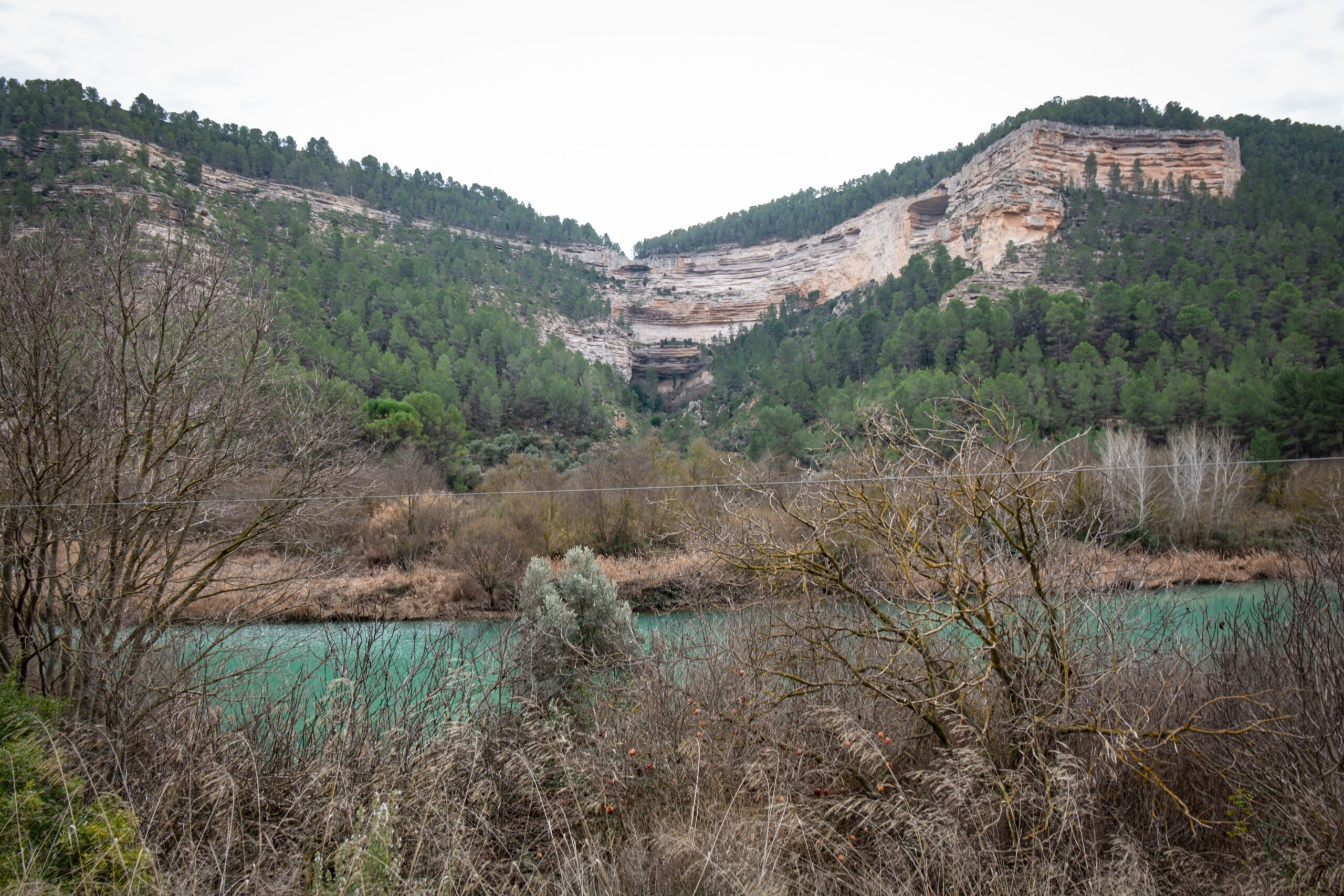
TOLLO DE LA GILA
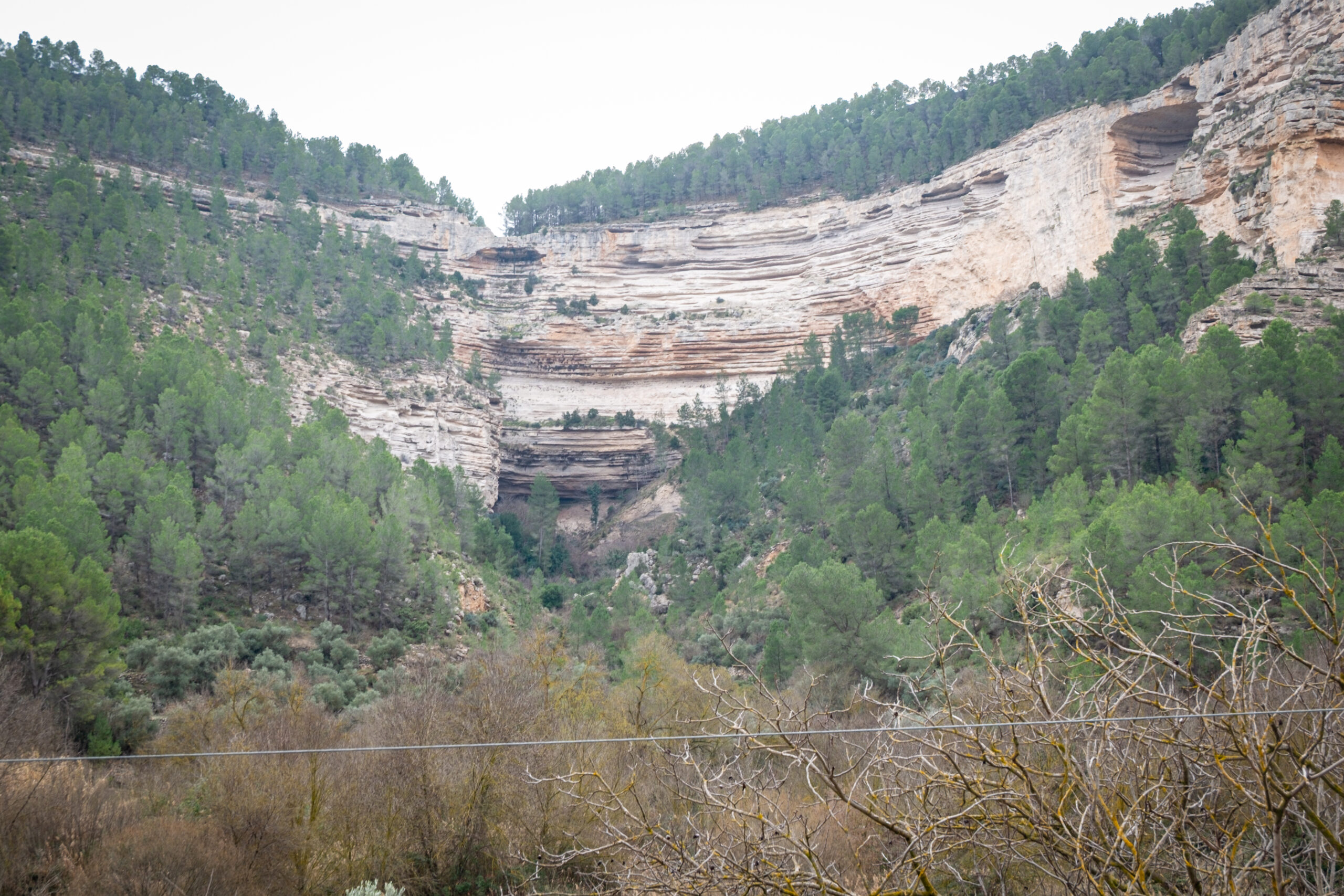
Tollos are geological formations that originate at the headwaters of ravines as a result of the erosive action of water on layers of rocks of different hardness.
After rainfall, the water that flows through the ravines erodes the rocks with varying intensity depending on their resistance. When beneath a layer of hard rock there is another less resistant one, a depression is formed, which eventually takes on an almost circular shape, with overhanging walls.
In the Júcar River valley in La Manchuela, the hard rocks are fossiliferous limestones, while the more easily eroded ones are usually sandstones and calcareous marls, formed by the superposition of deposits in the area during a period of intense lacustrine sedimentary activity, about two million years ago.
It is not uncommon for a pool of water with rounded shapes to appear at the bottom of the tollos or even a spring from which underground waters emerge to the surface, which, in their flow towards the Júcar depression, are interrupted by the cut made in the tollo.
La Gila is a settlement in the municipality of Alcalá del Júcar located at the edge of the plain, on the escarpment that leads down to the Júcar valley. On this escarpment, immediately below the settlement, there is a spectacular tollo, more than one hundred metres high, associated with a water spring near La Gila.
Contemplating the spectacular nature of this tollo is only possible at river level, or from the opposite edge on the northern side of the valley, in the Casillas de Tolosa.